Bihar Spatial Study: Khagaria. Survey of thousands of acres of land located in 14 revenue villages of Beldaur Aloli and Gogri region was immediately banned. Survey work will be resumed in these villages only after obtaining permission from the department. According to information, land survey was immediately banned in 14 revenue villages including two in Alauli area, three in Gogri area and nine in Beldaur area. Instructions have been issued to land inspector Amin, Kanungo and the in-charges of the revenue village camp related to the settlement officer level. Along with this, guidance has also been sought from the Directorate of Land Records and Measurement. It is said that after the guidelines received from the department, survey work will be started in these revenue villages.
The territorial study was carried out two years ago.
The first phase of land survey work started in all three zones i.e. about two years ago. Survey work has also been completed at many levels. But after it came to light that land survey was being done on the basis of all khatians and maps, settlement officer Arun Kumar Jha immediately stopped the survey and sent correspondence (seeking guidance) at the state level. A few days ago, on the departmental order, survey of 8100 acres of topographical land located in 11 revenue villages of Parbatta and Khagaria area was banned. Even in the second phase, survey work has not started in 39 revenue villages located in Municipal Council and Nagar Panchayat.
Why was the survey stopped?
After it came to light that land survey was being carried out on the basis of Sarvasta Khatian and Map in 14 revenue villages of three zones, the settlement officer immediately stopped the land survey here. Earlier, in three revenue villages, problems of land surveying on the basis of khatian and maps had been discovered, but now such cases have come to light in 14 revenue villages. Here, a letter has been written to all the COs seeking information as to whether in any other revenue village Jamabandi was also established on the basis of Sarvastha Khatian and Map or the work is being executed on this basis.
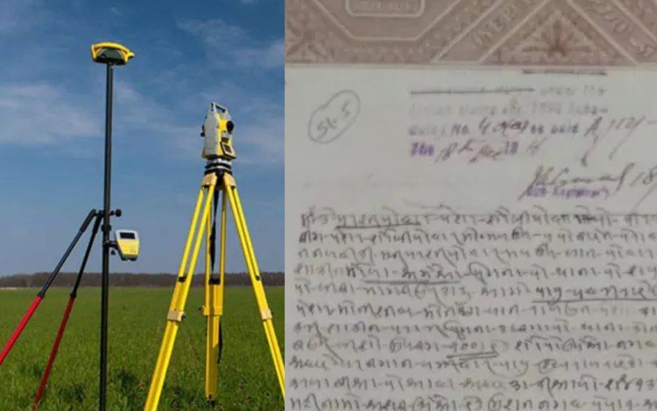
What is Sarvasta Khatian and Map?
The survey was carried out in Khagaria in the year 1902 when Khagaria was included in Munger district. A survey was conducted here during the British rule following which a map of Khatian and its land was prepared. So far, the related works (determination of ownership and measurement of land) have been done only on the basis of Khatian and maps prepared during that period. Experts say that due to water logging, land survey work could not be done in some revenue villages during that period but only after a few years of the survey, a survey was conducted to collect rent from the land owners in the remaining revenue villages/mauzas. After making all the Khatian and map.
Doubts have been raised about its authenticity.
There have always been doubts about the authenticity of Sarvasta Khatian and the map. Experts say that legally all maps and khatians are not recognized. In general, the revenue courts have not given any importance to Khatian and maps. The khatian and the map made in the year 1902 i.e. during the British rule have the signature of an authorized land survey officer, whereas in the abandoned revenue mouza, all the khatian and maps made/prepared by the then landowners have the signature of a competent/authorized officer (DM or Settlement Officer) is not signed.
CO was called up at state level with Panji 2
According to information, on the orders of the district officer, the CO of Beldaur and Alauli zone was recently called with the Jamabandi register prepared on the basis of Sarvasta Khatiyana. Sources say that the Directorate of Land Records and Measurement is investigating when the Sarvasta Khatian and the map were deposited in the District Archives.
Sarvasta khatians were made by the landlords.
There is no evidence as to when Sarvasta Khatian and the map were made. Since the period is very old (before independence), the department officials do not know when or if Sarvasta Khatian was prepared. But land related experts say that Sarvasta Khatian and Naksha were built on the mouza left by the former landowners after 1902 and before independence. So that rent could be collected from the land owners.
Where did the study of the earth stop?
Anchal Mauza
Alauli- Cherakhera, Mohanpur.
gogri- Rajdhan Karari, Har Prasad, Borna.
Beldaur- Gendharsan, Muras, Pacharasi, Rohiyama, Gawas, Balaitha, Dahrauza, Bela Nauwad and Dighaun.
Officials say
The department (Directorate of Land Records and Survey) has been asked for guidance to immediately stop the land survey being carried out in 14 revenue villages on the basis of all available documents and maps. Further action will be taken in the light of the guidelines received there.
– Arun Kumar Jha, Khagaria Settlement Officer
Disclaimer:
The information contained in this post is for general information purposes only. We make no representations or warranties of any kind, express or implied, about the completeness, accuracy, reliability, suitability or availability with respect to the website or the information, products, services, or related graphics contained on the post for any purpose.
We respect the intellectual property rights of content creators. If you are the owner of any material featured on our website and have concerns about its use, please contact us. We are committed to addressing any copyright issues promptly and will remove any material within 2 days of receiving a request from the rightful owner.